|
Last weekend I was up on Sidbury Hill and in my wanderings amongst the dense woodland in the centre - at about the highest point - a circle of half a dozen massive beech trees next to a fenced off (and obviously ancient) yew.
 Beeches and Yew (the yew's on the left)
 Beeches
This area is so different to the rest of the woodland on the top of Sidbury, and since prominent landmarks have frequently in the past been marked by stands of large trees (many barrows on hilltops are so indicated, for instance), that I decided it would henceforth serve as my reference point for the 'center' of Sidbury as a landmark for alignments.
Handily, I had my GPS with me, so I put in a GOTO for the centre of Stonehenge and started walking that line (the 'solstice' line - see earlier messages) to see if there was anything notable along it.
Here's the path I took (click for a larger version):
 GPS Track and waypoints
... the turquise line is the path of my walk, the bright green line is the GPS 'GOTO' track. The waypoints #103-115 are where I took photos.
Although I had to divert from the straight line GPS track at times (the largest one to avoid a herd of cows), I made sure that I was back on the track whenever I took a pair of pictures - one back towards Sidbury, the other forward towards Stonehenge.
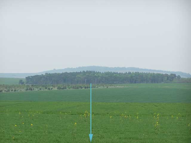
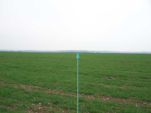
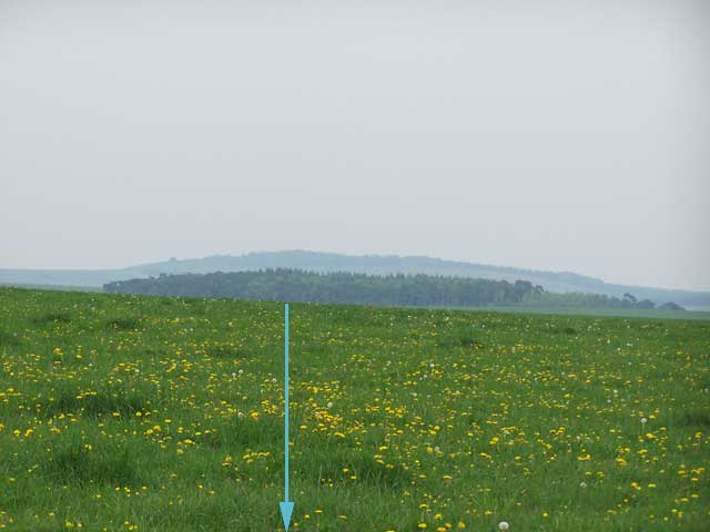
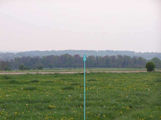
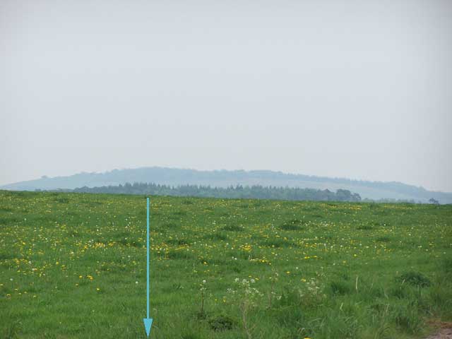
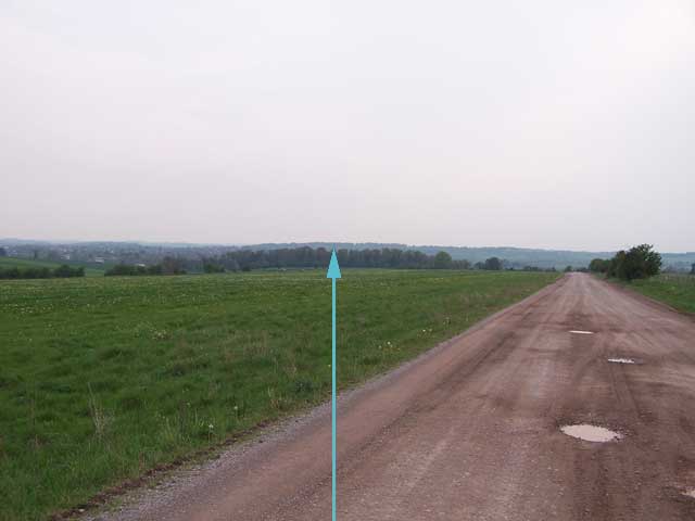
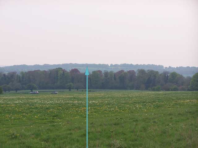
Here are those pics (the arrow shows the GPS GOTO track direction):
| Location | Backwards to Sidbury | Forwards to Stonehenge | | Start of track | 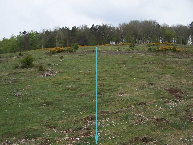 |  | | 103 | 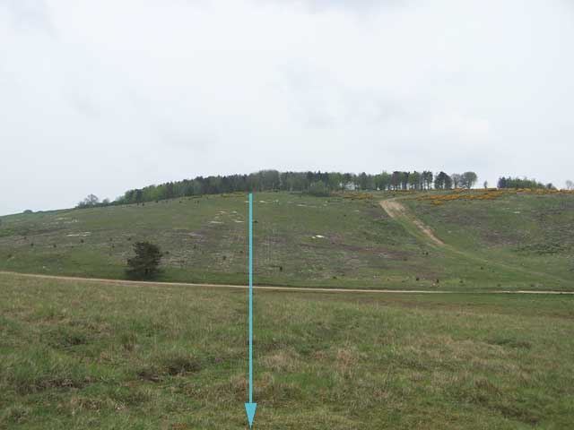 | 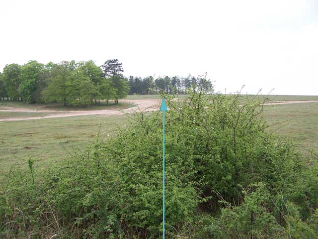 | | 104 |  | 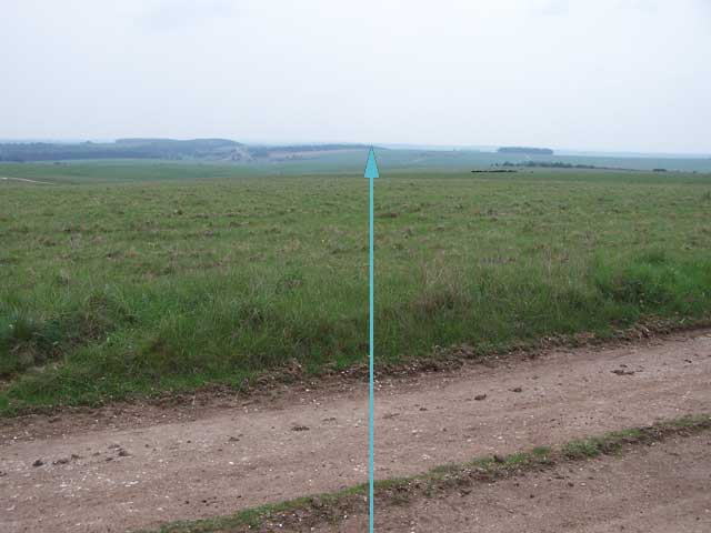 | | 105 | 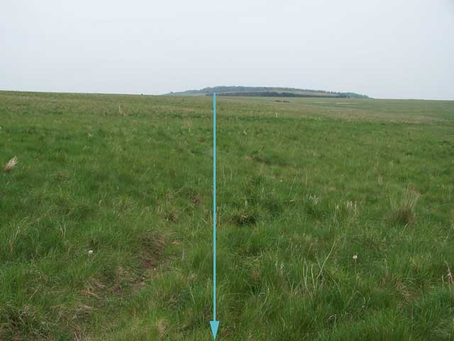 | 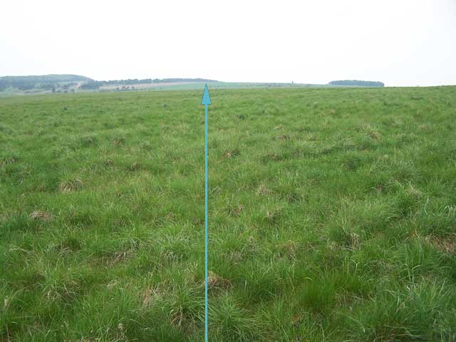 | | 106 | 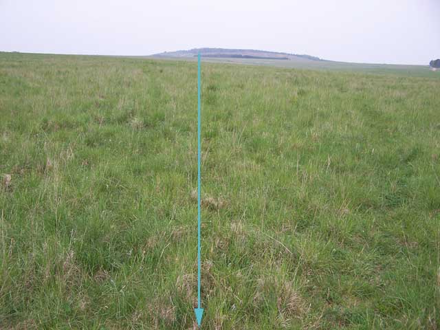 | 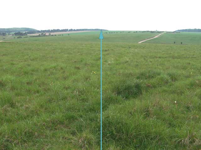 | | 107 | 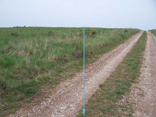 | 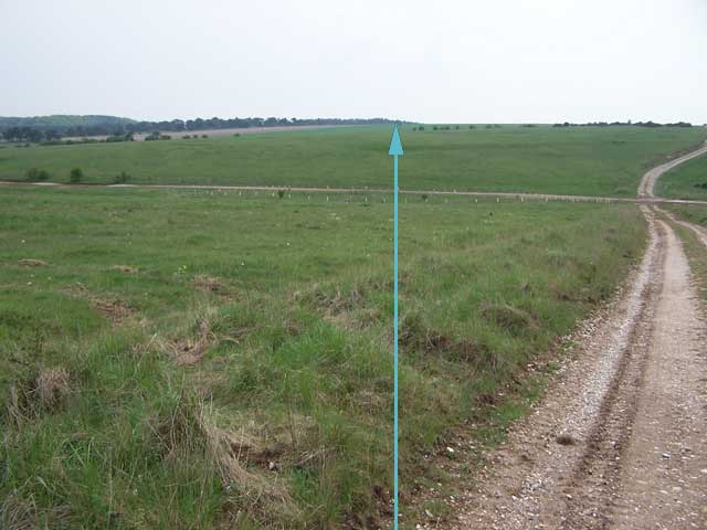 | | 108 |  | 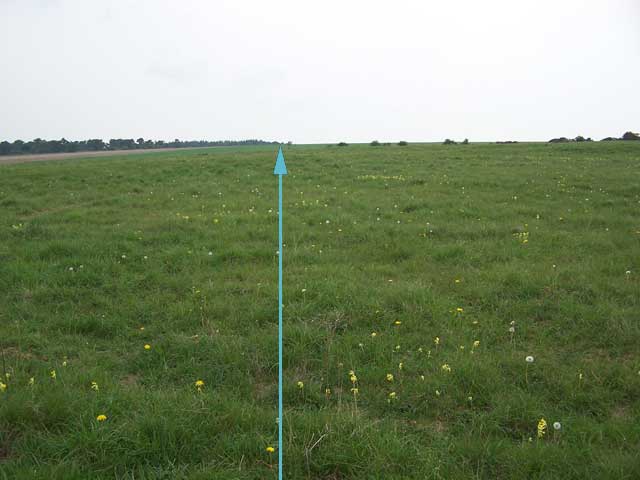 | | 109 | 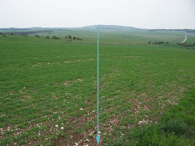 |  | | 110 | 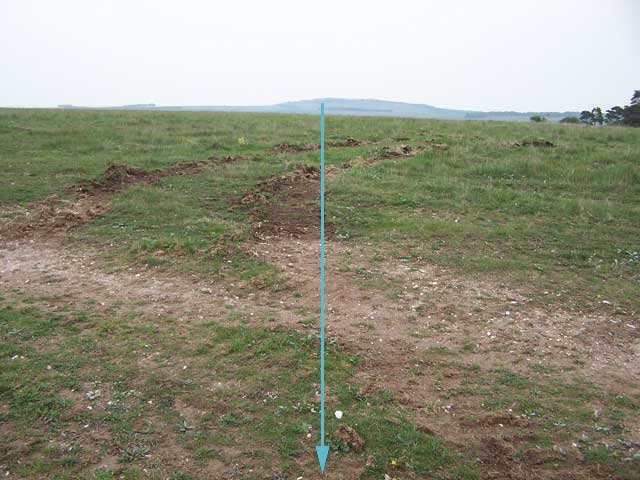 | 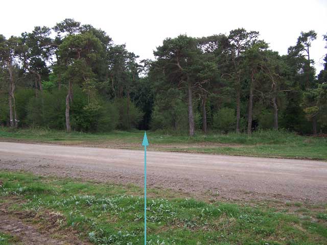 | | 111 | 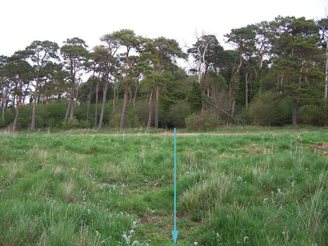 | 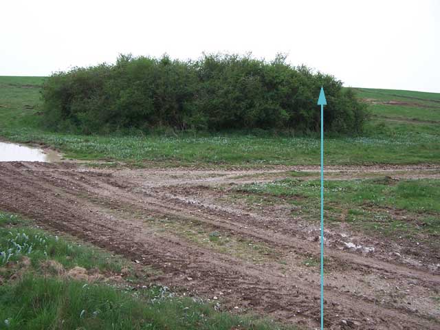 | Between 111 and 112
(forgot to add waypoint!) | 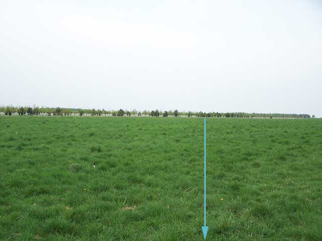 | 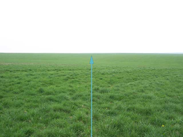 | | 112 |  | 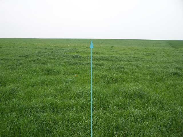 | | 113 | 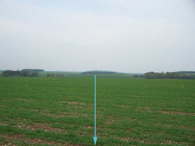
 |  | | 114 | 
 | 
 | | 115 | 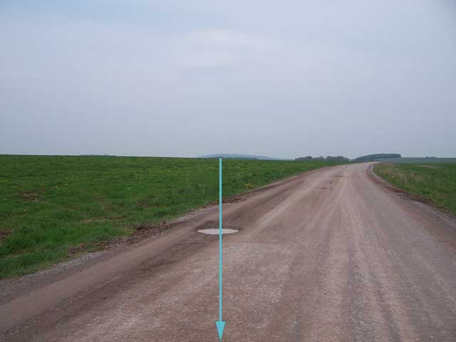
 | 
 |
--
simon
|